
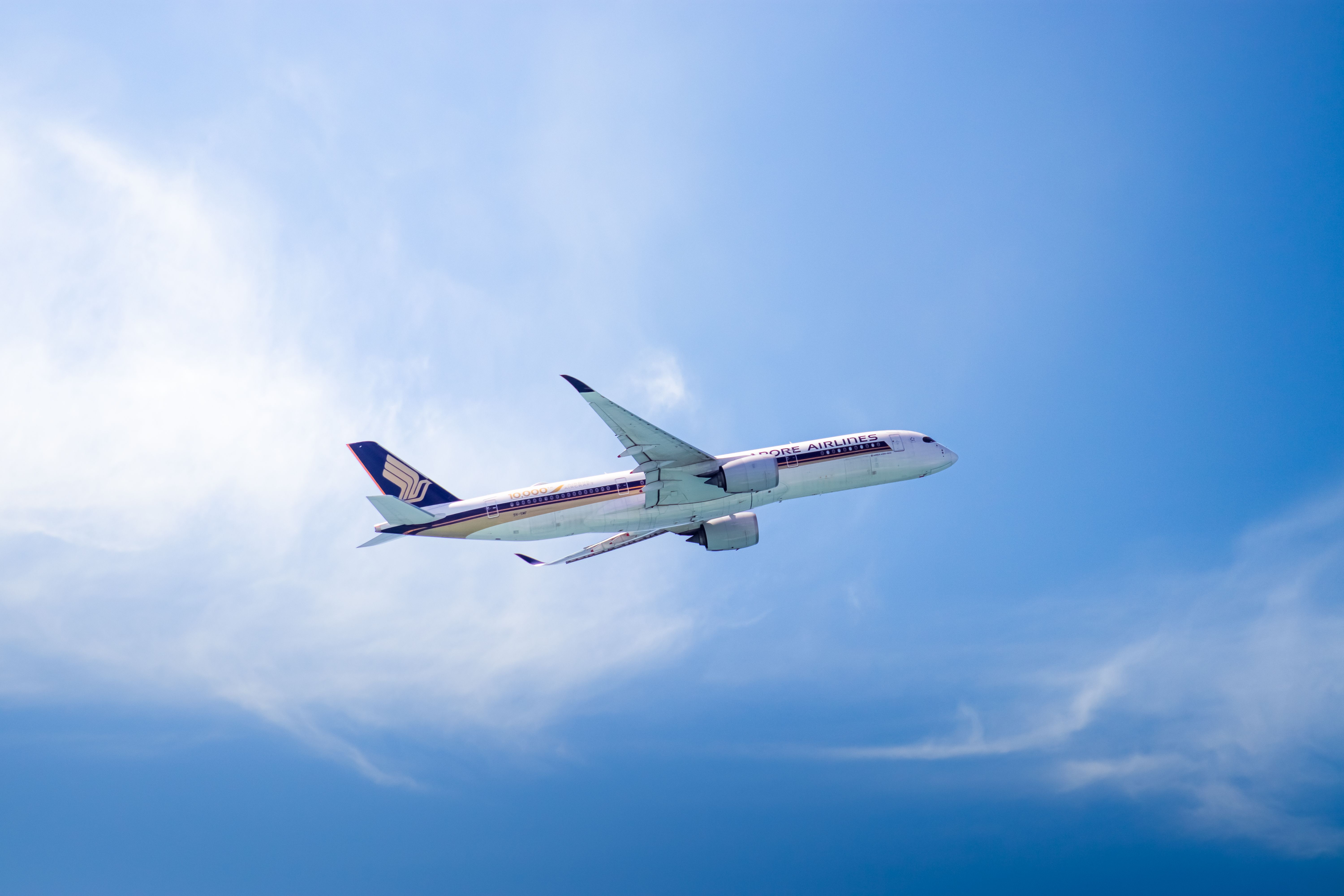
A long-haul flight tracked on a map often appears to swing far north of a straight line. The route is shorter than it looks, because the map is the thing distorting it.
Flat maps stretch the high latitudes
Most familiar world maps project a sphere onto a rectangle, which requires stretching the areas near the poles. Distances there are exaggerated while distances near the equator are not.
A line drawn straight across such a map is therefore not the shortest path between two cities. The genuinely shortest route, the great circle, appears on that map as a curve.
Between two northern cities the great circle bends toward the pole. On a globe with a piece of string, the same route looks entirely unremarkable.
Winds move the track off the shortest line
Strong high-altitude winds run broadly west to east across the northern hemisphere, and their position shifts daily. Flying with them saves fuel; flying against them costs it.
Eastbound flights therefore steer to sit inside the fastest air, even when doing so adds distance. A longer track flown in a strong tailwind takes less time and less fuel than a shorter one.
Westbound flights do the opposite, tracking away from the strongest headwinds. This is why the same city pair takes noticeably longer in one direction than the other.
Oceanic crossings are organised into tracks
Over the busiest oceans, aircraft are separated using a set of parallel routes published daily, positioned according to that day's winds. Crews are assigned one and stay on it.
The system exists because radar coverage over open water is limited, so separation depends on known positions and timings rather than continuous surveillance. A structured grid makes that manageable.
Because the tracks move each day, a route flown twice in a week is not flown identically. Passengers comparing two maps of the same flight are seeing yesterday's wind field.
Twin-engine rules constrain how far from land a route strays
Aircraft with two engines are certified to operate a defined maximum flying time from a suitable diversion airport. That certification is specific to the aircraft and the operator.
The rule shapes the map directly. A route may be drawn to stay within reach of airfields in the far north or on remote islands, which pulls it away from the pure great circle.
As certified diversion times have grown, routes have straightened. Crossings that once required a substantial dogleg can now be flown much closer to the shortest line.
Airspace and overflight add the final adjustments
Some airspace is closed, restricted, or expensive to cross, and each of those pushes the planned route sideways. Overflight charges are a genuine input to route planning.
Closures can add hours to established routes, and they change with circumstances rather than with geography. Airlines replan around them flight by flight.
The route a passenger flies is therefore the outcome of four separate calculations layered on top of the shortest path, which is why it rarely looks like a straight line anywhere.